Bookmarks filtered by #osint
OSINT Bookmarks
45 bookmarks
Censys Search
Internet-wide host and certificate search for discovering exposed services and infrastructure, complementary to Shodan.
MarineTraffic
Live AIS ship tracking for vessel positions, routes, and port activity research.
ADS-B Exchange
Volunteer ADS-B flight tracker with unfiltered global coverage, including aircraft often omitted from commercial trackers.
FotoForensics
Image forensics site offering Error Level Analysis and related checks to help spot edits and compression anomalies.
InVID Verification Plugin
Browser plugin for verifying videos and images with reverse search, metadata, and contextual analysis aids.
OpenSanctions
Open database of sanctioned people and companies, PEPs, and related watchlist entities.
OpenCorporates
Open company registry search across jurisdictions for legal entities, officers, and corporate filings.
Have I Been Pwned
Breach lookup for emails and phones, useful when checking whether an identity appears in known leaks.
Epieos
Email and phone OSINT lookup that surfaces linked Google accounts, calendars, maps contributions, and related footprints.
WhatsMyName
Username enumeration across hundreds of sites to see where a handle appears without creating accounts.
Bellingcat Online Investigation Toolkit
Bellingcat curated toolkit covering search, social media, maps, verification, and documentation for open-source investigators.
OSINT Framework
Interactive tree of free OSINT tools organized by investigative need such as username, email, and imagery.
OSINT for Countries
Country-by-country OSINT methodology, links, and tools for jurisdiction-specific open-source research.
Social Analyzer
API, CLI, and web app for finding and analyzing person profiles across many social platforms.
Arkham
Blockchain intelligence platform for attributing crypto addresses and mapping related entities across chains.
Yandex Maps
Yandex Maps with street and satellite views commonly used for geolocation outside Western map defaults.
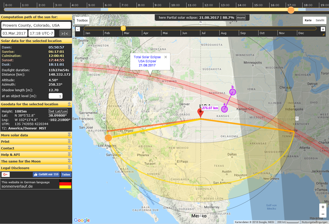
SunCalc
Interactive sun position and phase calculator on a map for timing and shadow-based geolocation.
Shodan
Search engine for internet-connected devices and services, widely used in infrastructure and exposure research.

Sentinel Hub
Cloud API and browser for Sentinel and other satellite imagery useful in geolocation and change detection.
Berkeley Protocol
UN OHCHR practical standard for gathering, analyzing, and preserving digital open-source evidence ethically and legally.
Mapillary
Street-level imagery platform for exploring ground photos worldwide, useful for geolocation and site verification.

Maltego
Graph-based investigation platform for linking people, domains, infrastructure, and other intelligence entities.
Hunchly
Browser-based capture tool for preserving and organizing online evidence during investigations.
First Steps in Open Source Research
Bellingcat onboarding article for beginners starting open-source research with free tools and careful verification habits.
WiGLE: Wireless Network Mapping
Crowdsourced map and database of Wi-Fi and cell networks collected by wardrivers and contributors.
Who.is
WHOIS, RDAP, and DNS lookup portal for domain registration and related infrastructure details.
urlscan.io
URL and website scanner that renders pages and records network/DOM details for suspicious link analysis.
Military Bases Around the World
OpenStreetMap uMap of military bases scraped from Wikipedia for a quick geographic overview.
Ultimate OSINT Collection
Start.me hub collecting OSINT guides, trainings, tool lists, and related investigation resources.
ShadeMap
Global shadow simulator (ShadeMap) for any date and time, supporting chronolocation and outdoor scene analysis.
Chronolocation of Media
Sector035 guide to dating online media from clocks, shadows, metadata, and other temporal clues.
SnapScraper
Tool for downloading media from Snapchat Snap Map for open-source collection and review.

PimEyes
Face recognition and reverse image search engine for finding appearances of a person across the web.
Overpass Turbo
Web UI for Overpass API queries against OpenStreetMap, useful for extracting structured map features.
OH SHINT OSINT Web Resources
OH SHINT curated directory of OSINT web resources for investigators building a personal toolkit.

World Imagery Wayback
Esri Living Atlas archive of World Imagery basemap versions for historical satellite and aerial comparison.
3D Model of Tokyo
Official Tokyo Digital Twin 3D city model for exploring metropolitan geometry and layered spatial data in cyberspace.
Osintosphère
Interactive knowledge graph mapping people and resources in the OSINT community (Osintosphère).
Chronocalc
Calculator companion to chronolocation work, estimating capture time from sun position and shadows.
CF-Hero
Recon tool that combines multiple data sources to find origin IPs behind Cloudflare-protected sites.
Argus
Open-source reconnaissance toolkit for gathering host, domain, and related infrastructure information.
Digital Business Cards PSE
Google Programmable Search Engine setup for finding digital business cards and related contact artifacts.
OSINT Stuff Tool Collection
Large curated GitHub list of online OSINT tools spanning people search, domains, maps, documents, and more.
OCCRP Aleph
OCCRP research archive for searching investigative documents, entities, and cross-border reporting material.

abuse.ch
Community threat-intel platform publishing malware, botnet, and abuse feeds useful for defenders and open-source investigations.